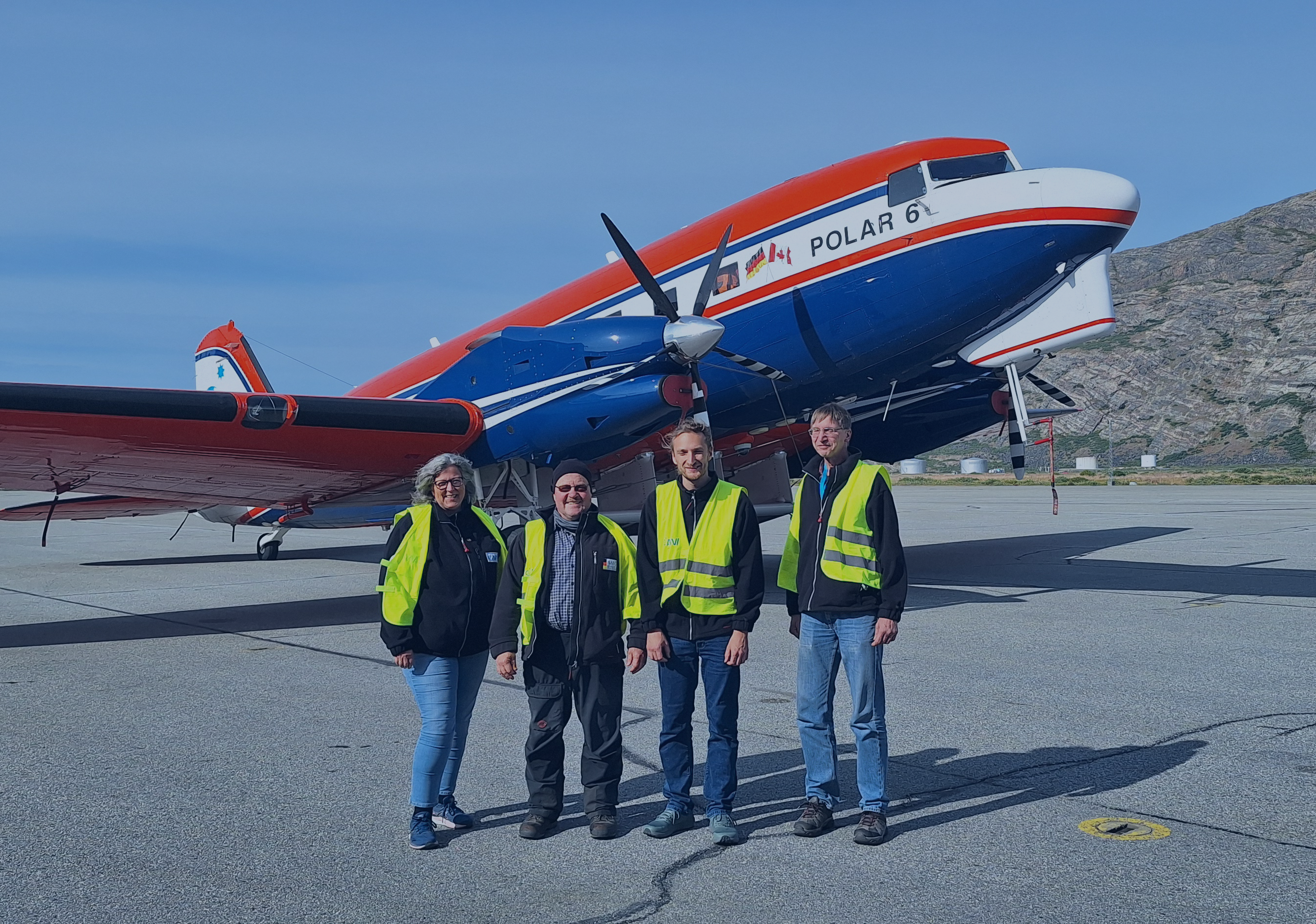
Advancing Polar Research with High-Performance Computing and On-Site Expeditions: Professor Angelika Humbert is a glaciologist at the Alfred Wegener institute Helmholtz Centre for Polar and Marine Research (AWI) in Bremerhaven, and a lecturer at TU Darmstadt. She researches the dynamics and changes of glaciers, including simulations of ice mechanics and the hydrology of ice sheets on high-performance computers. In this context, she collaborates with Professor Ralf Müller (TU Darmstadt, Mechanics) on fracture mechanics and with Professor Christian Bischof (TU Darmstadt, Scientific Computing) on the development of programs for high performance computing. For example, Yannic Fischler (TU Darmstadt, Scientific Computing) developed a parallel code based on a Python prototype implementation of the subglacial hydrological aspects of glaciers. This code is now being coupled with the previously used Ice-sheet and Sea-level System Model (ISSM) code in collaboration with scientists from AWI. The calculations are performed on TU Darmstadt’s high performance computer Lichtenberg II as part of NHR4CES.
Although satellite remote sensing can capture the extent of glaciers in high resolution, on-site investigations of glaciers are indispensable for a detailed understanding of the flow and fracture behavior of glaciers. In particular, reliable input and boundary values for computer simulations can only be determined this way. Therefore, Professor Humbert and her team, in collaboration with the German Aerospace Center (DLR), are studying the structure of glaciers and ice sheets in Greenland as part of the flight expedition “Polarmonitor 2024.” They use radar, laser measurements, and high-resolution camera images from the research aircraft “Polar6.” Professor Bischof also participated in part of the expedition to contribute ideas on data processing and the data pipeline. By the way, Polar6 is a DC-3 aircraft (”Rosinenbomber”), originally ordered by the US military in 1943 and later converted in 2011 into a test carrier for polar expeditions. During Polarmonitor, for example, meltwater aquifers in the firn layer were more precisely identified, covering several thousand square kilometers in East Greenland.
